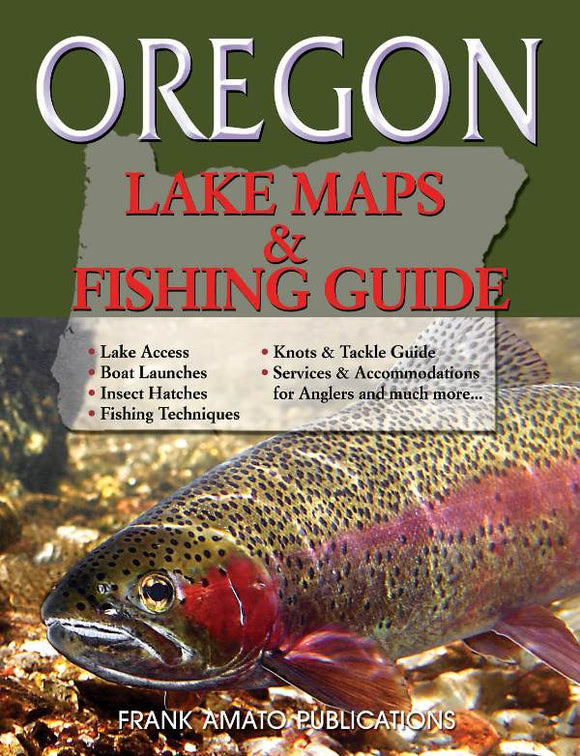
OREGON LAKE MAPS & FISHING GUIDE
With the continued success of our “River Maps” series, we are pleased to announce the launch of a new series of maps books focusing on lakes. Noted Oregon outdoor writer Gary Lewis kicks off the “Lake Maps & Fishing Guide” series in the Beaver State. Logging over 6,000 miles doing research, Lewis visited each of the 40 lakes—and their surrounding communities—to bring you the most accurate and up-to-the-minute information possible.
As with the “River Maps” Series, each lake map is packed with information, including: Roads and access points; Boat launches; Peak fishing times for various stillwater species; Insect hatches and hatch-timing chart; Fly-fishing and conventional tackle techniques; Fishing knots & tackle guide; Important services & accommodations for anglers; and so much more.
Detailed Fishing Maps, Including:
Whether you're casting from the bank or fishing from a boat, Oregon Lake Maps & Fishing Guide tells you where to be and when to be there. Learn the secrets of Oregon's best lakes, including the "insider" information you need to experience the very best fishing Oregon has to offer. We’ve even included phone and email information for the essential services and accommodations specific to the needs of fishermen. Keep one Oregon Lake Maps & Fishing Guide in your car and another in your office, so you can always access the information you need, when you need it.
8 1/2 x 11 Inches, 88 Pages, 40 Maps, Illustrations, All-Color
As with the “River Maps” Series, each lake map is packed with information, including: Roads and access points; Boat launches; Peak fishing times for various stillwater species; Insect hatches and hatch-timing chart; Fly-fishing and conventional tackle techniques; Fishing knots & tackle guide; Important services & accommodations for anglers; and so much more.
Detailed Fishing Maps, Including:
- Lake Access
- Boat Launches
- Insect hatches
- Fishing Techniques
- Knots & Tackle Guide
- Peak Fishing Times
- Services & Accommodations for Anglers and much more...
Whether you're casting from the bank or fishing from a boat, Oregon Lake Maps & Fishing Guide tells you where to be and when to be there. Learn the secrets of Oregon's best lakes, including the "insider" information you need to experience the very best fishing Oregon has to offer. We’ve even included phone and email information for the essential services and accommodations specific to the needs of fishermen. Keep one Oregon Lake Maps & Fishing Guide in your car and another in your office, so you can always access the information you need, when you need it.
8 1/2 x 11 Inches, 88 Pages, 40 Maps, Illustrations, All-Color